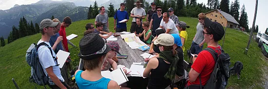
The landslide mapping course is provided by the Landslide Research group, and introduces students to geological and geomorphic mapping techniques relevant to landslide hazard identification and civil construction. This year 21 students participated in the 5-day course which included engineering geological soil and rock description methods, geophysical survey, much hiking, and plenty of sunshine. The geophysical survey was undertaken using ERT equipment financed by student-driven funding (SQK), and gave an opportunity to discuss financial and legal requirements for modern geotechnical site investigations. Results from the mapping field course will be fed into an advanced GIS course for geologists, and provide practical examples for a theoretical course discussing recognition, investigation, and mitigation measures for landslide hazards.