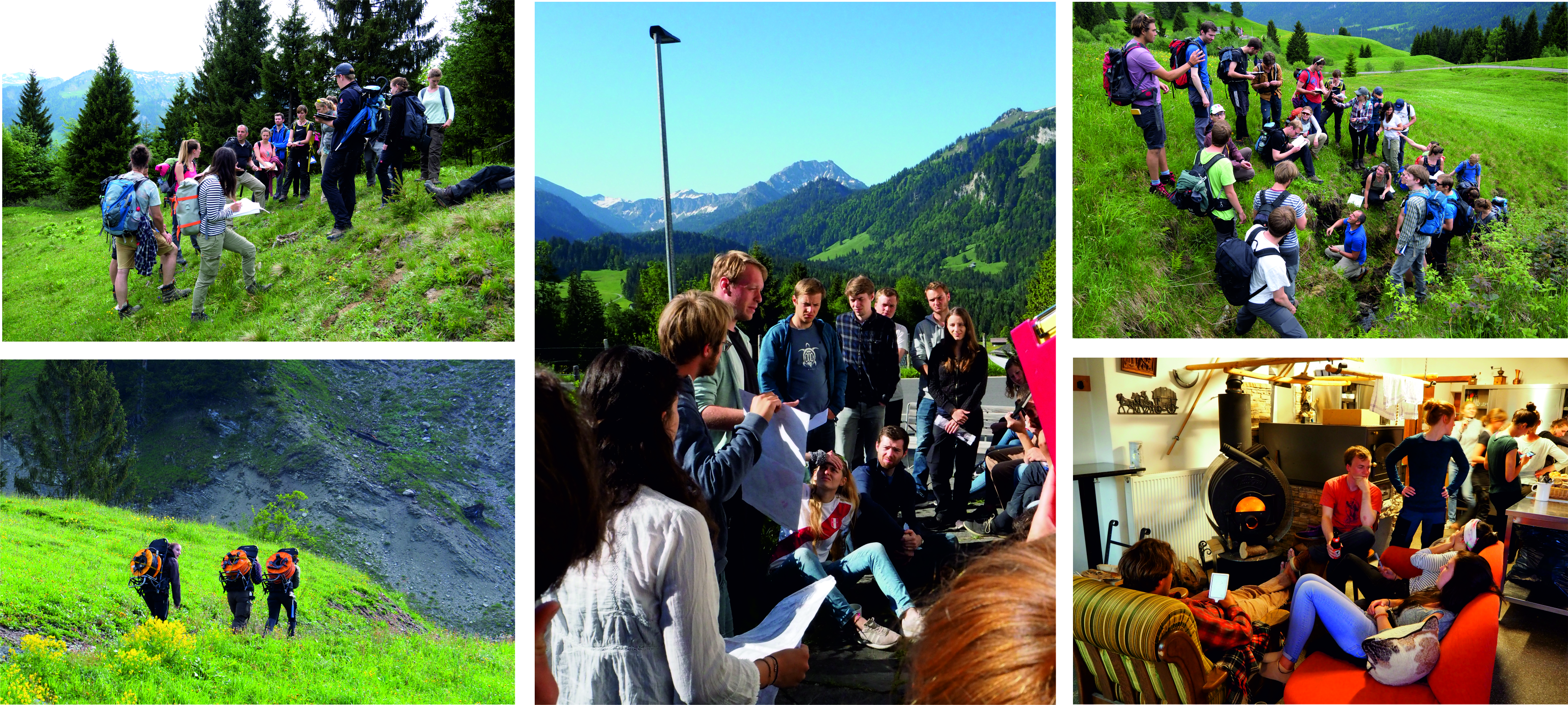
For this year’s field mapping course, we can finally go back to Sibratsgfäll! This course introduces Hydro- and Engineering Geology students to geological and geomorphic mapping techniques relevant to landslide hazard identification and civil construction. It includes hands-on experience of engineering geological soil and rock description methods on the large-scale slope movement Rindberg , hiking, pizza making and hopefully lots of sunshine. We will also explore investigation methods such as geo-electrical resistivity tomography and deformation analysis using terrestrial laser scanning. This 5-day course will take place from June 6th to June 10th 2022 as part of the Module BGU67007 (Hangbewegungskartierung und GIS). Results from the mapping field course will be fed into our advanced GIS course for geologists, and provide practical examples for a theoretical course discussing recognition, investigation, and mitigation measures for landslide hazards. We look forward to a great field trip with you!