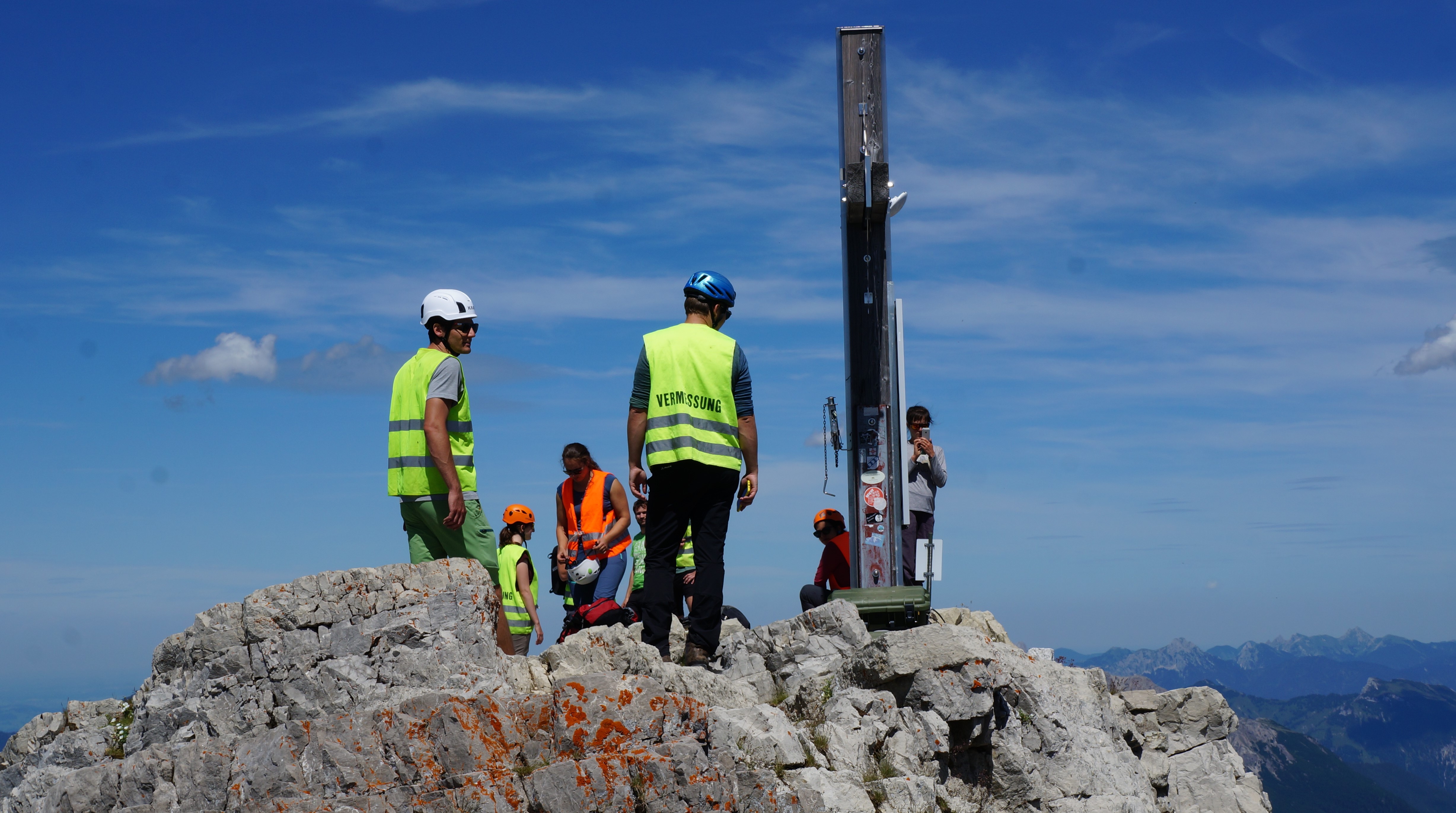
For the first time this year after the winter we reached up to the summit of the Hochvogel which is part of the AlpSenseRely project. We (including our colleagues from geodesy, photogrammetry and remote sensing) did monitoring measurements with the tachymeter, GNSS, Laserscanner, terrestial camera and drone. We could also read the data from the seismic stations, fixed the permanent GNSS sensors from Sicurent and changed the batteries of our real-time monitoring loggers. It total a day of success!