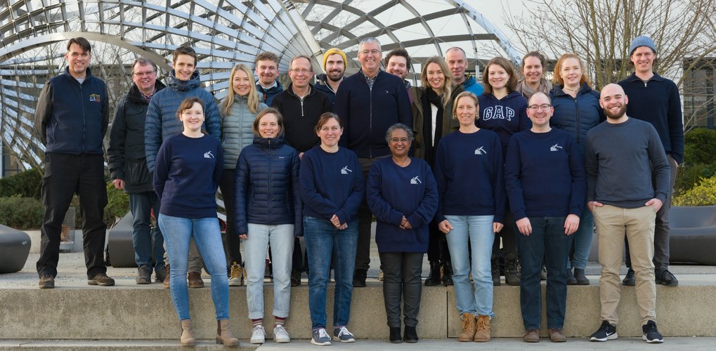
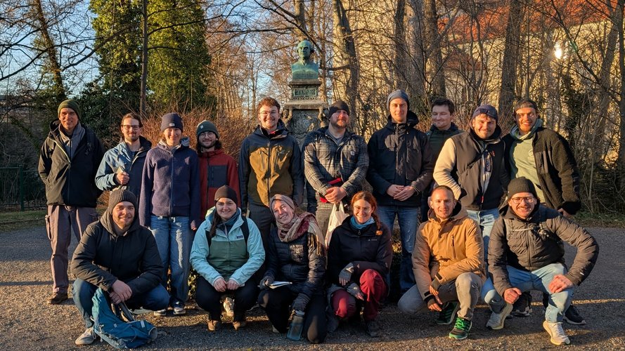
Mitarbeiter der Lehrstühle für Ingenenieurgeologie und Alpine Naturgefahren,
Foto: Lehrstuhl für Ingenieurgeologie
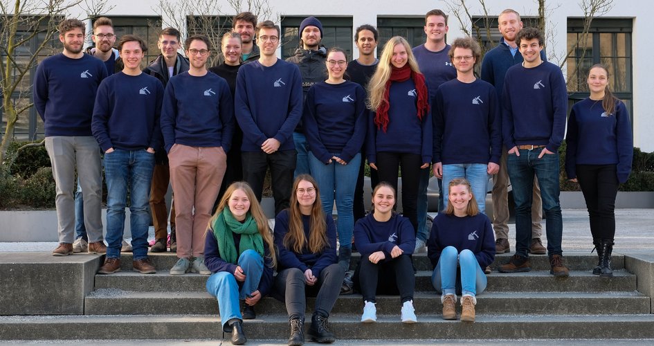
Studierende des Masterstudiengangs Ingenieur- und Hydrogeologie 2023, Foto: Annemarie Schintgen
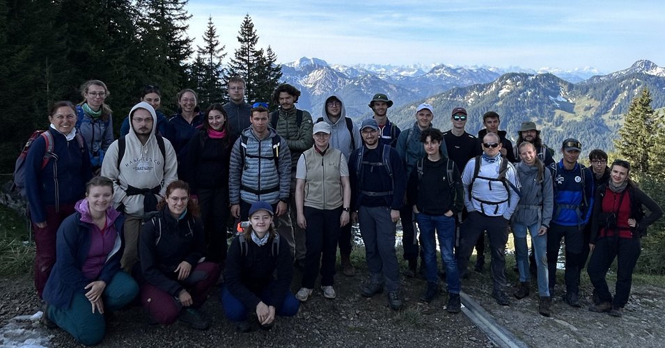
Kartierungsübung am Taubenstein / Spitzingsee 2024, Foto: Catharina Drexl
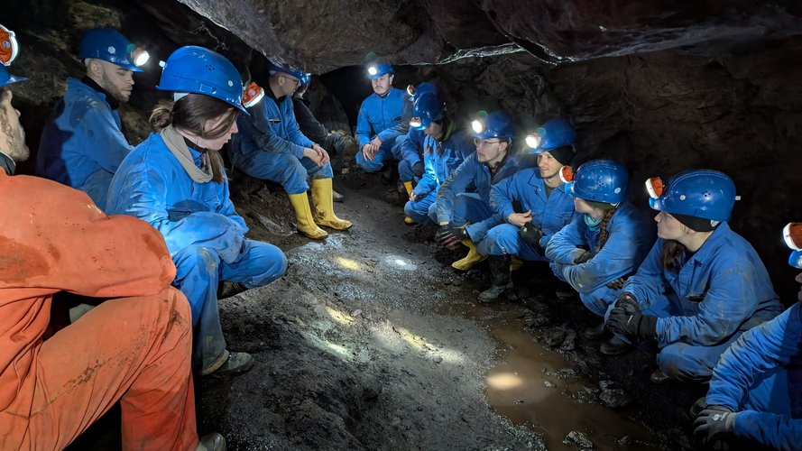
Kartierungsübung unter Tage in Freiberg 2025, Foto: Martin Reichenberger
Kartierungsübung unter Tage in Freiberg 2025, Foto: Christoph Kügler
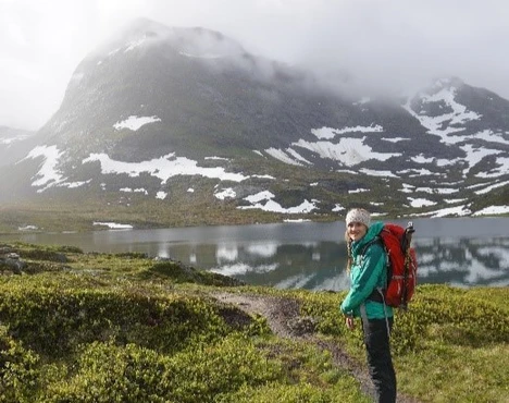
Juditha Aga, Doctoral Researcher, Oslo University
Why did I choose the Master's program in Engineering and Hydrogeology?
I decided to study Engineering and Hydrogeology at TUM because I liked the focus on applied knowledge and skills in the field of geosciences.
What did I learn during my studies?
The wide range of courses in the field, in the laboratory and in numerical methods helped me to build up specialist skills and to find a specialisation according to my personal interests.
I particularly enjoyed a mapping exercise on the subject of slope movements and my Master's thesis, which focussed on rockfall in the Bavarian Alps.
What do I do now professionally?
Graduating from TUM has enabled me to take up a PhD position at the University of Oslo, where I am studying permafrost on Svalbard and working on the further development of permafrost models.
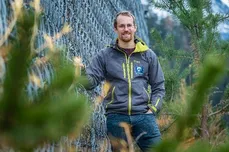
Klaus Keilig, project manager & expert for retaining structures, Baugeologisches Büro Bauer Munich
Why did I choose the Master's program in Engineering and Hydrogeology?
I was particularly attracted by the combination of geosciences and (civil) engineering on this degree program. I already found this interplay interesting during my bachelor's degree and was enthusiastic about the classic geoscientific subjects and excursions, such as Quaternary geology or petrography, as well as the technical subjects, such as engineering geology or technical mechanics.
What did I learn during my studies?
Above all, I learnt that practical experience and working with fellow students are very effective ways of deepening and retaining knowledge in the long term. The experiences on excursions and mapping exercises as well as the solution-oriented work in small groups and under the close supervision of lecturers have taken me much further than stubborn memorisation. I was most enthusiastic about the fundamentals of rock mechanics. In tunnelling, the properties of the rock are used in such a way that the subsoil becomes part of the structure.
I was also able to familiarise myself with the destructive force of slope movements as part of my Master's thesis and was able to use innovative field methods such as laser scanning and drone flights.
What do I do now professionally?
I work at Baugeologisches Büro Bauer GmbH in Munich, which was founded by a TUM graduate. Here I prepare subsoil reports for a wide range of projects. These range from new construction or expansion of district and federal roads and motorways, to bridge structures for roads and railway lines, industrial halls, tunnelling and hydropower projects. We are also increasingly using the BIM method in ground modelling, making a decisive contribution to digitalisation in the planning phases.
Since 2022, I have been authorised to carry out structural inspections of rockfall protection fences, avalanche barriers, rock crossings and other safety structures against alpine natural hazards as a certified expert for safety structures.
In 2021, we founded a subsidiary in Georgia. Caucasus Science and Engineering LLC, of which I am co-founder and managing director. This company specialises in particular in the planning of remediation and protection measures in the area of slope movements.
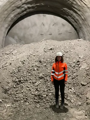
Natascha Buschle, Geotechnical construction mangager for tunneling, Max Bögel Stiftung & Co. KG
Why did I choose the Master's degree programme in Engineering and Hydrogeology?
Because I wanted to specialise further in the fields of slope movements and engineering geology after my very broad-based bachelor's degree in geosciences. Munich as a location close to the Alps and with several construction companies and engineering consultants with construction sites close-by offers a number of advantages.
What did I learn during my studies?
In the lectures, study projects, laboratory exercises and excursions, I learnt many basics that I can apply in my everyday working life today. The many practical examples made it easier to understand the theory.
Even during my studies, I was able to make important contacts at lectures and construction site excursions and obtain valuable internships that make it easier to start my career.
What do I do now professionally?
I work for a construction company in the field of tunnelling as a geotechnical construction manager. I support my colleagues in all areas, from the tender phase and work preparation to execution and contract management for geological and geotechnical issues. My day-to-day work is very varied, from taking core samples and holding meetings with project participants to analysing geotechnical deformation measurements or dewatering measures.
Why did you choose the engineering geological field exercise in the Wachtl quarry?
"It's important for me to supplement theory with practical experience during my studies. Carrying out an joint analysis as part of a preliminary geological report for a possible future project therefore seems sensible to me."
"Out of interest in carrying out a scanline and photogrammetric survey and analysing it, as well as enjoying field exercises with fellow students."
"I chose the Wachtl field exercise because I wanted to take part in a practice-orientated exercise. The scanline recording in the field as well as the evaluation of the self-collected data with two programmes provide an insight into one of the many activities of an engineering geologist."
"I chose the field exercise to have the opportunity to try out two methods for analysing joints, one classic and one modern, in the field. The subsequent post-processing of my own data and getting to know specialist programmes were particularly interesting for me."
What did you particularly like about this field exercise?
"I have already gained experience in carrying out a scanline and creating a 3D model from drone photos in the past. In this sense, I enjoyed the excursion as a refresher. I particularly enjoyed the evaluation of the photogrammetry results using various softwares. I learnt how to georeference 3D models and thus digitally measure joint orientations."
"Despite the bad weather in the field, the atmosphere between the students and the supervisors was always good. The supervision was very good overall and yet you worked independently."
"I really liked the practical relevance and the independent work. In the field, each group of two took data independently. This data formed the basis for the digital analysis. You could also quickly see the mistakes you made in the field and how they affected the digital analysis. The field work and the subsequent evaluation represent a finished/completed piece of work."
"I particularly liked the fact that we were able to apply both methods independently in the field and then analyse our own data. This allowed us to establish a direct application reference. The comparison of the two methods also led to a more precise and critical approach to fieldwork in the future."
Which aspects do you consider relevant for your future professional life?
"With the scanline and photogrammetry, I have already mastered two methods for analysing interfaces. I also consider the successful use of various analysis software, such as DIPS, to be particularly relevant for my future professional life."
"The teamwork with fellow students is definitely very important in terms of working with colleagues later in my career, as is the newly acquired knowledge about creating 3D models and analysing them on a computer."
"The independent work, the classic field work and the digital analysis are very relevant. We compared and evaluated the two methods (field and digital work). We used the same methods that are also used in professional practice. The Wachtl field exercise is therefore a great opportunity to take a look at a possible field of work for an engineering geologist."
"I found the data acquisition with my own evaluation and an application example from engineering geology particularly relevant. Developing a recommendation for action from the results obtained is very good preparation for your future professional life."