SuMaRiO
BMBF- collaborative research project: Sustainable Management of River Oases along the Tarim River / China (SuMaRiO)
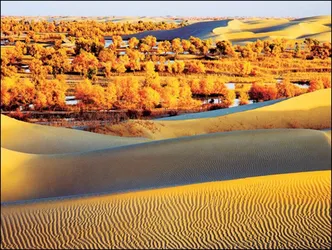
The Tarim River Basin is a large, unique and arid region of extreme vulnerability. The climate is continental with large temperature amplitude. It is, globally, the most remote area from the oceans; hence rainfall is extremely rare and low. The Tarim River is mainly fed from snowmelt and glacier-melt, which has been increasing during the last decade. Fig. 1 shows the Taklimakan desert with its oases, the Tarim River and the surrounding mountains. However, global climate change prognoses forecast shrinking water supply within this century. Due to strong extension of irrigated agriculture in oases along the rivers since the 1960s, which allowed a vigorous economic development of the basin, river flows have strongly decreased, leading to a decay of floodplain vegetation and fish population, while agricultural soils have become unusable due to salinization. The central question is how to manage agricultural land and water use in a very water-scarce region, with changing water availability due to climate change, such that ecosystem services are maintained.
To support a sustainable land and water management in the Tarim River Basin, an interdisciplinary team of natural scientists, engineers, economists and planners intends to analyze the Ecosystem Functions (ESF) and Ecosystem Services (ESS) of the Tarim River and its river oases.
The project aims at achieving the following results:
- Estimation of the impact of climate change on water availability
- Determination of functional interlinkages of floodplain biodiversity and their ESS
- Interlinkages between runoff characteristics and water quality of the Tarim, and ESF/ESS of riparian forests and of the oasis management
- Evaluation of traditional, high-input and alternative land use systems under consideration of their ESF/ESS as well as with respect to economic and social aspects
- Transdisciplinary research by stakeholder participation
- Installation of various internet-based tools for supporting sustainable land management by quantifying system variables and ecosystem services
These results are essential to develop and implement a system for sustainability impact assessments within regional planning of the Tarim Basin, building on sets of indicators from the various subprojects for capturing, analyzing, and monitoring the ESF/ESS on the one hand and on the results from land use simulations and actor modelling on the other. A particular focus is on developing robust procedures for evaluating ESF/ESS to allow future use in the Tarim Basin.
The research area comprises the Tarim River in the utmost northwest of China, its substantial tributaries from the surrounding central Asian mountain ranges and the irrigation and floodplain areas along the Tarim (Fig. 1). The current land and water management is resulting in massive environmental and social problems in the region. Comparable with the Aral Sea problem complex, large areas of the agricultural soils have become unusable through salinization, the river lining floodplain vegetation has vastly receded, and important Ecosystem Functions / Ecosystem Services (ESF / ESS) such as providing uncontaminated irrigation water or attenuating dust and sand storms by vegetation have been severely decreased, or completely lost. The Chinese government has realized the immense ecological-economical problems and tested some alleviating measures, e.g. water transfers. What is lacking are sustainable approaches and measures considering the complete land and water management system with its ESS / ESF in an integrated way and taking into account the diverse problem perceptions of the stakeholders. This is where the submitted research project comes into play. The goal is to support oasis management along the Tarim River by:
- Developing methods for analysing ESF / ESS of the Tarim, the adjacent floodplain forests and the agriculture areas
- Identifying possibilities for optimizing economic, ecological, and societal utilities
- Developing (internet-based) tools for Chinese decision makers that show the ecological and socio-economic consequences of their decisions in a changing world, including the quantitative dimensions
- Involving stakeholders in the research process to integrate their knowledge into the scientific process and to encourage implementation of sustainable land management measures.
Investor: Bundesministerium für Bildung und Forschung
Project start: 01.03.2011
Project end: 29.02.2016
Project management: Prof. Dr.-Ing. Markus Disse (markus.disse@tum.de)
Project coordinator: Dr. Christian Rumbaur
Project assistance: Yu Yang, M.Sc., Philipp Huttner, M.Sc.
Results
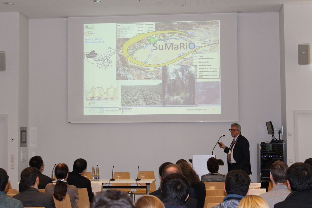
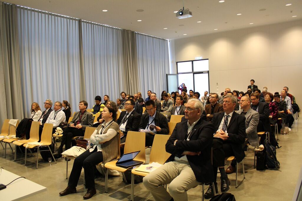
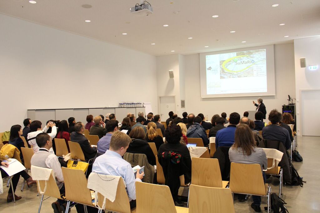
Procedure of the final conference from 10.12. - 12.12.2015: Program
In the following, the contributions of the individual presenters are listed in chronological order and are available to download here
Day 1
| Title | Lecturer | Link |
|---|---|---|
| Opening | Disse Markus | Link |
| Climate Change and Water Cycle in Tarim River Basin of China | Su Buda | Link |
| Measuring and modeling on different spatial scales along the Tarim River | Markus Disse, Joachim Müller, Karl Stahr | Link |
| Water balance and simulation of eco-hydrological process along the Tarim river | Zhao Chengyi | Link |
| Urban Forests, Heat and Dust stress in Xinjiang cities | Ümüt Halik | Link |
| Ecosystem Services of Riparian Ecosystems | Bernd Cyffka, Frank Thomas, Niels Thevs | Link |
| Ecosystem Functions and Ecosystem Services | Frank Thomas,Birgit Kleinschmit | Link |
| Transdisciplinary assessment of ecosystem services in the Tarim basin | Petra Döll | Link |
Day 2
| Title | Lecturer | Link |
|---|---|---|
| Introduction of the SuMaRiO DSS | Andreas Brieden, Marie Hinnenthal | Link |
| Regionalization of land use, groundwater and discharge along the Tarim River | Philipp Huttner | Link |
| Water allocation model for the Tarim River | Yu Yang | Link |
| Effects of Land Use and Climate Change on Groundwater and Ecosystems at Yingibazar by using the MIKE SHE Integrated Hydrological Model | Keilholz Patrick | Link |
| Cryosphere matters - attribution of observed streamflow changes in headwater catchments of the Tarim River | Bruno Merz, Doris Düthmann | Link |
| Weather modification and its development in Xinjiang since 1970s supported by government | Cui Caixia | Link |
| Soil salinity and cotton yield estimation on regional scale in Tarim River Basin using EPIC Model and SOTER-Database approach | Hussein Othmanli | Link |
| Towards a spatially distributed concept for cotton growth modeling by coupling the APSIM model with optical remote sensing data | Joachim Hill, Sebastian Mader | Link |
| After the browning: Assessment of long term greening trends of Tarim River Basin based on 1985–2015 satellite data | Philipp Gärtner, Birgit Kleinschmit | Link |
| Performance of Populus euphratica in riparian forests of the Tarim River Basin, NW China: Effects of use and distance to the ground water | Frank Thomas | Link |
| Aquatic Biodiversity of the Tarim River referring to macro invertebrates and fish - a crucial résumé | Benno Kügel | Link |
| he nonuse and long-distance values of a more sustainable oasis management in the Tarim Basin | Michael Ahlheim | Link |