Adige
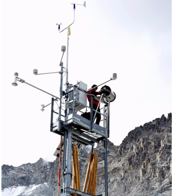
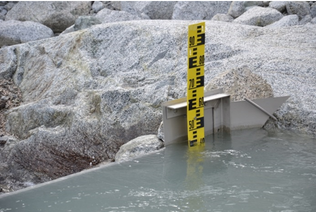
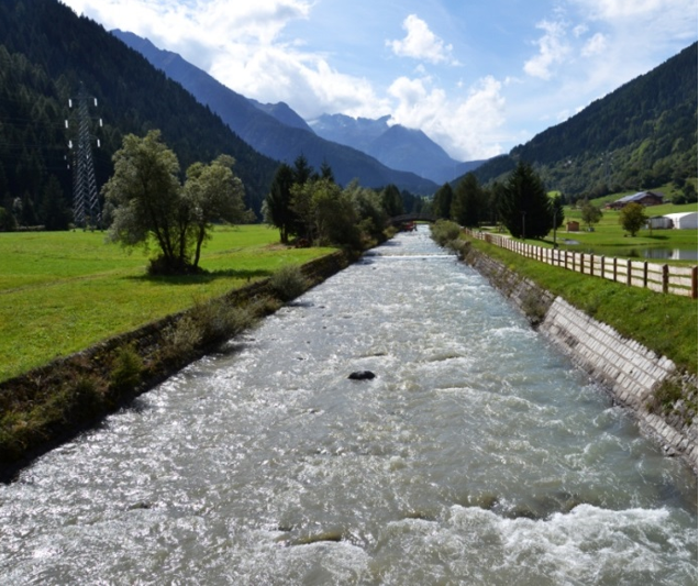
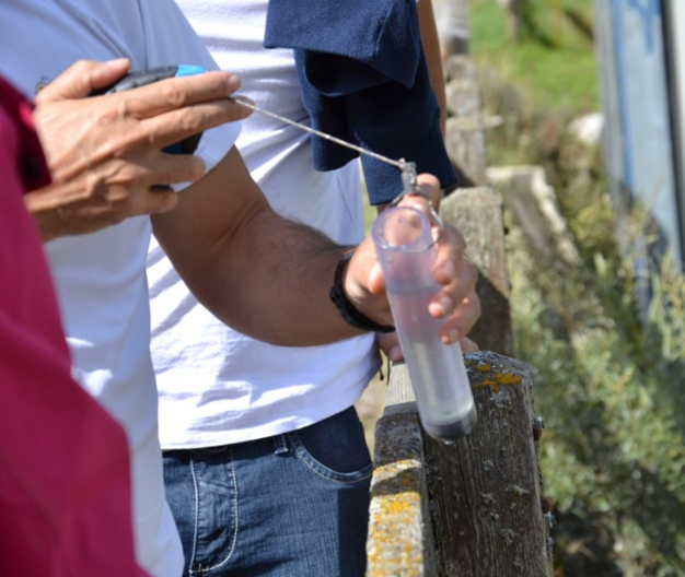
The GLOBAQUA project has been funded by the European commission in the 7th framework Programme, in order to improve management of the effects of multiple stressors on aquatic ecosystems under water scarcity. Six case studies, representative of different climatic conditions, have been selected to address this issue. The Adige catchment has been chosen to represent the Alpine region. The Adige is the second longest river in Italy, with a length of 410 km and a drainage area of 12000 km2. In this catchment, the main stressor for the aquatic ecosystem derives form hydrological alterations. Indeed, because of its morphology and humid climate, the river basin is well suited for hydroelectric production, and to date 30 major reservoirs exist in the catchment, for a total storage capacity equal to 8.5% of the long-term mean annual runoff. Natural streamflow is significantly affected by hydropower production, particularly at intermediate and low flow regimes. Furthermore, earlier snow melting is already affecting the Adige river basin reducing water resources availability during the irrigation period (roughly June-August). Indeed, higher temperatures recorded in the summer months may cause an increase of water demand for irrigation and for energy production used for cooling. This is expected to increase the deficit of water resources in summer, when agricultural and recreational uses reach the highest water demand. As a consequence, an exacerbation in the conflicts between different users of water resources can be expected. Furthermore, induced hydropeaking effects can also have severe consequences on contaminant loads transported in the stream. Another important stressor of the aquatic ecosystem relevant for the upper part of basin, may be the release of pollutants (e.g., POPs & DDT) accumulated in the glaciers and the release of emerging pollutants (e.g., drugs, pharmaceuticals and personal care products, in particular UV filters) from the WWTPs serving the ski resorts. In this context, hydrological modeling will contribute: i) to monitor the impact of the main stressors on the basin; ii) to develop a sediment and pollutant transport model and the interactions between surface water, groundwater and the hyporheic zone; iii) to develop policies for sustainable hydropower tourism and agriculture activities; iv) to provide policies for adaptation considering water management under climate change condition.
For more information: